
Պատկեր:Map Germany Länder-de.svg

Size of this PNG preview of this SVG file: 429 × 599 պիքսել. Այլ թույլտվությաններ: 172 × 240 պիքսել | 344 × 480 պիքսել | 550 × 768 պիքսել | 733 × 1024 պիքսել | 1466 × 2048 պիքսել | 522 × 729 պիքսել.
Սկզբնական նիշք (SVG-նիշք, անվանապես 522 × 729 փիքսել, նիշքի չափը՝ 171 ԿԲ)
| Նկարագրում |
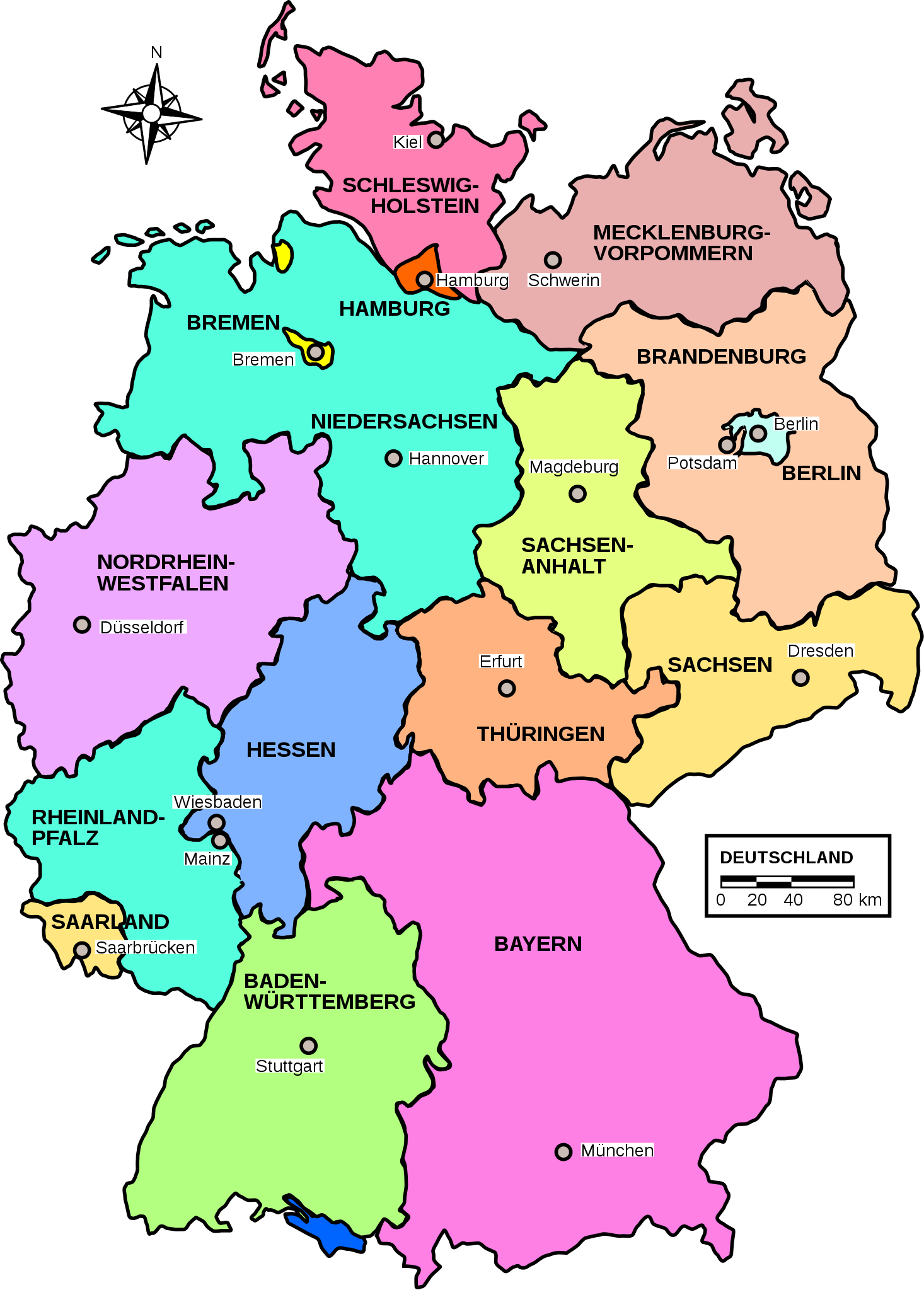
Deutsch: Deutsche Bundesländer Karte. |
||||||
| Թվական | |||||||
| Աղբյուր | Own work (image renamed from Image:Map germany.svg) | ||||||
| Հեղինակ | Patricia.fidi | ||||||
| Իրավունքներ (Նիշքի վերաօգտագործումը) |
|
||||||
| Այլ մեկնակերպներ |
|


|
Այս SVG ֆայլ օգտագործում է զետեղված տեքստ, որը կարելի է հեշտ թարգմանել ձեր լեզվի վրա using [toolforge:svgtranslate/File:Map_Germany_L%C3%A4nder-de.svglink this automated tool]: Իմացեք ավելին: You can also download it and translate it manually using a text editor. |
Նիշքի պատմություն
Մատնահարեք օրվան/ժամին՝ նիշքի այդ պահին տեսքը դիտելու համար։
| Օր/Ժամ | Մանրապատկեր | Օբյեկտի չափը | Մասնակից | Մեկնաբանություն | |
|---|---|---|---|---|---|
| ընթացիկ | 20:10, 13 Օգոստոսի 2011 | | 522 × 729 (171 ԿԲ) | Abani79 | minor improvement |
| 14:10, 27 Սեպտեմբերի 2009 |  | 522 × 729 (208 ԿԲ) | Contro993 | Reverted to version as of 16:12, 18 June 2007 | |
| 14:08, 27 Սեպտեմբերի 2009 |  | 522 × 729 (209 ԿԲ) | Contro993 | Italian version of the map. | |
| 16:12, 18 Հունիսի 2007 |  | 522 × 729 (208 ԿԲ) | Bibi Saint-Pol | s/Postdam/Potsdam/ | |
| 00:09, 27 փետրվարի 2007 |  | 522 × 729 (208 ԿԲ) | Bibi Saint-Pol | {{Information |Description= {{de|Deuschland Karte.}} {{en|Map of Germany.}} |Source=Own work (image renamed from Image:Map germany.svg) |Date=2006-08-06 |Author=Patricia.fidi |Permission={{PD-OpenClipart|http://openclipart.org} |
Նիշքի օգտագործում
Հետևյալ էջը հղվում է այս նիշքին՝
Նիշքի համընդհանուր օգտագործում
Հետևյալ այլ վիքիները օգտագործում են այս նիշքը՝
- Օգտագործումը ar.wikipedia.org կայքում
- Օգտագործումը ckb.wikipedia.org կայքում
- Օգտագործումը de.wikipedia.org կայքում
- Naturschutzgebiet (Deutschland)
- Portal Diskussion:Umwelt- und Naturschutz
- Liste der Justizvollzugsanstalten in Bayern
- Naturwaldreservat
- Nationalparks in Deutschland
- Bundesärztekammer
- Liste der Justizvollzugsanstalten in Brandenburg
- Liste der Ramsar-Gebiete in Deutschland
- Diskussion:Land (Deutschland)/Archiv/1
- Liste der Naturparks in Deutschland
- Liste der Justizvollzugsanstalten in Deutschland
- Benutzer:Ulflulfl/Karten
- Nationales Naturmonument
- Liste der Justizvollzugsanstalten in Rheinland-Pfalz
- Wikipedia:Redaktion Bilder/Charts
- Sächsische Landesärztekammer
- Liste der Justizvollzugsanstalten in Thüringen
- Bayerische Landesärztekammer
- Vorlage:Navigationsleiste Ärztekammer (Deutschland)
- Liste der Justizvollzugsanstalten in Schleswig-Holstein
- Vorlage:Navigationsleiste Listen der Justizvollzugsanstalten in Deutschland
- Liste der Biosphärenreservate in Deutschland
- Ärztekammer Westfalen-Lippe
- Ärztekammer Berlin
- Ärztekammer Nordrhein
- Liste der FFH-Gebiete in Deutschland
- Landesärztekammer Hessen
- Gesetz über Hilfen und Schutzmaßnahmen bei psychischen Krankheiten (Baden-Württemberg)
- Gesetz über Hilfen und Schutzmaßnahmen bei psychischen Krankheiten (Nordrhein-Westfalen)
- Brandenburgisches Psychisch-Kranken-Gesetz
- Hamburgisches Gesetz über Hilfen und Schutzmaßnahmen bei psychischen Krankheiten
- Sächsisches Gesetz über die Hilfen und die Unterbringung bei psychischen Krankheiten
- Psychischkrankengesetz
- Niedersächsisches Gesetz über Hilfen und Schutzmaßnahmen für psychisch Kranke
- Landesgesetz über Hilfen bei psychischen Erkrankungen
- Gesetz über Hilfen für psychisch Kranke und Schutzmaßnahmen des Landes Sachsen-Anhalt
- Thüringer Gesetz zur Hilfe und Unterbringung psychisch kranker Menschen
- Benutzer Diskussion:AsiTV
- Liste von Psychiatrien in Bayern
- Liste von Psychiatrien in Rheinland-Pfalz
- Landesärztekammer Baden-Württemberg
- Psychisch-Kranken-Hilfe-Gesetz (Hessen)
- Liste von Psychiatrien in Nordrhein-Westfalen
- Liste von psychiatrischen Kliniken in Berlin
- Liste von Psychiatrien in Hamburg
- Vorlage:Navigationsleiste Psychiatrische Kliniken in Deutschland
- Liste von Psychiatrien in der Freien Hansestadt Bremen
Տեսնել այս նիշքի ավելի համընդհանուր օգտագործումը: