
Պատկեր:Richmond Park, Beverley Brook - geograph.org.uk - 676367.jpg
Ավելի բարձր կետաչափով տարբերակ չկա։
Richmond_Park,_Beverley_Brook_-_geograph.org.uk_-_676367.jpg (640 × 480 փիքսել, նիշքի չափը՝ 109 ԿԲ, MIME-տեսակը՝ image/jpeg)
Ամփոփում
| Նկարագրում |
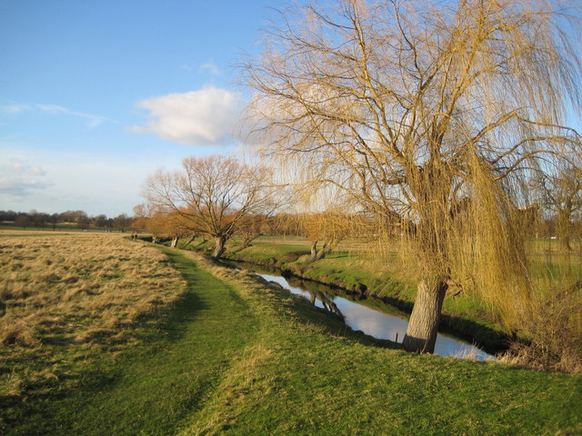
English: Richmond Park: Beverley Brook Viewed looking downstream from the bridge carrying the road that runs through the eastern side of the park, Beverley Brook joins the River Thames near Barnes. Richmond Park, which covers almost 1,000 hectares, is designated as a National Nature Reserve (NNR), a Site of Special Scientific Interest (SSSI) and a Special Area of Conservation (SAC). |
| Թվական | |
| Աղբյուր | From geograph.org.uk |
| Հեղինակ | Nigel Cox |
| Հղում (required by the license) | Nigel Cox / Richmond Park: Beverley Brook / |
| Տեսախցիկի տեղագրություն | | Այս և ուրիշ պատկերներ իրենց տեղագրությամբ OpenStreetMap |
|---|
_heading:315.00&language=hy)
| Օբյեկտի տեղագրություն | | Այս և ուրիշ պատկերներ իրենց տեղագրությամբ OpenStreetMap |
|---|
_heading:315.00&language=hy)
Արտոնագրում

|
This image was taken from the Geograph project collection. See this photograph's page on the Geograph website for the photographer's contact details. The copyright on this image is owned by Nigel Cox and is licensed for reuse under the Creative Commons Attribution-ShareAlike 2.0 license.
|
This file is licensed under the Creative Commons Attribution-Share Alike 2.0 Generic license.
Հղում: Nigel Cox
- Դուք ազատ եք՝
- կիսվել ստեղծագործությամբ – պատճենել, տարածել և փոխանցել այս աշխատանքը։
- վերափոխել – ադապտացնել աշխատանքը
- Պահպանելով հետևյալ պայմանները'
- հղում – Դուք պետք է նշեք հեղինակի (իրավատիրոջ) հղումը:
- համանման տարածում – Եթե դուք ձևափոխում եք, փոխակերպում, կամ այս աշխատանքի հիման վրա ստեղծում եք նոր աշխատանք, ապա ձեր ստեղծածը կարող է տարածվել միայն նույն կամ համարժեք թույլատրագրով։
Նիշքի պատմություն
Մատնահարեք օրվան/ժամին՝ նիշքի այդ պահին տեսքը դիտելու համար։
| Օր/Ժամ | Մանրապատկեր | Օբյեկտի չափը | Մասնակից | Մեկնաբանություն | |
|---|---|---|---|---|---|
| ընթացիկ | 23:03, 7 փետրվարի 2011 | | 640 × 480 (109 ԿԲ) | GeographBot | == {{int:filedesc}} == {{Information |description={{en|1=Richmond Park: Beverley Brook Viewed looking downstream from the bridge carrying the road that runs through the eastern side of the park, Beverley Brook joins the River Thames near Barnes. Richmond |
Նիշքի օգտագործում
Հետևյալ էջը հղվում է այս նիշքին՝
Նիշքի համընդհանուր օգտագործում
Հետևյալ այլ վիքիները օգտագործում են այս նիշքը՝
- Օգտագործումը de.wikipedia.org կայքում
- Օգտագործումը en.wikipedia.org կայքում
- Օգտագործումը fa.wikipedia.org կայքում