
Պատկեր:Oxfordshire outline map with UK.png
Նախադիտման չափ՝ 504 × 600 պիքսել։ Այլ թույլտվությաններ: 202 × 240 պիքսել | 600 × 714 պիքսել.
Սկզբնական նիշք (600 × 714 փիքսել, նիշքի չափը՝ 296 ԿԲ, MIME-տեսակը՝ image/png)
Ամփոփում
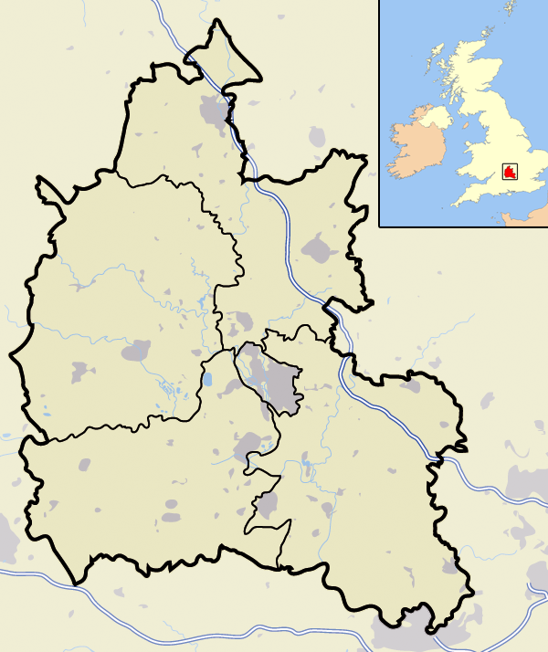
| Նկարագրում | Map of the county of Oxfordshire, England, United Kingdom |
| Թվական | |
| Աղբյուր | Բեռնողի սեփական աշխատանք |
| Հեղինակ | Jhamez84 |
Արտոնագրում
| I, the copyright holder of this work, release this work into the public domain. This applies worldwide. In some countries this may not be legally possible; if so: I grant anyone the right to use this work for any purpose, without any conditions, unless such conditions are required by law. |
Նիշքի պատմություն
Մատնահարեք օրվան/ժամին՝ նիշքի այդ պահին տեսքը դիտելու համար։
| Օր/Ժամ | Մանրապատկեր | Օբյեկտի չափը | Մասնակից | Մեկնաբանություն | |
|---|---|---|---|---|---|
| ընթացիկ | 16:09, 23 Նոյեմբերի 2007 | | 600 × 714 (296 ԿԲ) | Jza84 | {{Information |Description=Map of the county of Oxfordshire, England, United Kingdom |Source=self-made |Date=November 2007 |Author= Jhamez84 |Permission=See below |other_versions= }} |
Նիշքի օգտագործում
Հետևյալ էջը հղվում է այս նիշքին՝
Նիշքի համընդհանուր օգտագործում
Հետևյալ այլ վիքիները օգտագործում են այս նիշքը՝
- Օգտագործումը cs.wikipedia.org կայքում
- Օգտագործումը en.wikipedia.org կայքում
- Օգտագործումը ml.wikipedia.org կայքում