
Պատկեր:Finland physical map.svg

Size of this PNG preview of this SVG file: 303 × 598 պիքսել. Այլ թույլտվությաններ: 121 × 240 պիքսել | 243 × 480 պիքսել | 389 × 768 պիքսել | 518 × 1024 պիքսել | 1037 × 2048 պիքսել | 427 × 843 պիքսել.
Սկզբնական նիշք (SVG-նիշք, անվանապես 427 × 843 փիքսել, նիշքի չափը՝ 3,97 ՄԲ)
Ամփոփում
| Նկարագրում |
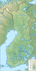
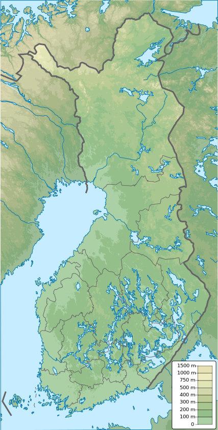
English: Finland physical map, parameters equal to File:Finland location map.svg |
| Թվական | |
| Աղբյուր | Բեռնողի սեփական աշխատանք |
| Հեղինակ | Urutseg |
Արտոնագրում
| I, the copyright holder of this work, release this work into the public domain. This applies worldwide. In some countries this may not be legally possible; if so: I grant anyone the right to use this work for any purpose, without any conditions, unless such conditions are required by law. |
Նիշքի պատմություն
Մատնահարեք օրվան/ժամին՝ նիշքի այդ պահին տեսքը դիտելու համար։
| Օր/Ժամ | Մանրապատկեր | Օբյեկտի չափը | Մասնակից | Մեկնաբանություն | |
|---|---|---|---|---|---|
| ընթացիկ | 12:09, 26 հունվարի 2021 | | 427 × 843 (3,97 ՄԲ) | Fenn-O-maniC | Updated regional borders as per https://asiointi.maanmittauslaitos.fi/karttapaikka/ |
| 23:39, 25 Նոյեմբերի 2019 |  | 427 × 843 (3,99 ՄԲ) | Pavouk | update border North_Ostrobothnia (+Vaala), delete Eastern Uusimaa, change border (Aland inside Finland, not out) | |
| 13:54, 13 փետրվարի 2011 |  | 427 × 843 (3,99 ՄԲ) | Urutseg | {{Information |Description ={{en|1=Finland physical map, parameters equal to File:Finland location map.svg}} |Source ={{own}} |Author =Urutseg |Date =2011-02-13 |Permission = |other_versions = }} [[C |
Նիշքի օգտագործում
Հետևյալ 2 էջերը հղվում են այս նիշքին՝
Նիշքի համընդհանուր օգտագործում
Հետևյալ այլ վիքիները օգտագործում են այս նիշքը՝
- Օգտագործումը am.wikipedia.org կայքում
- Օգտագործումը av.wikipedia.org կայքում
- Օգտագործումը az.wikipedia.org կայքում
- Օգտագործումը be.wikipedia.org կայքում
- Օգտագործումը bn.wikipedia.org կայքում
- Օգտագործումը bs.wikipedia.org կայքում
- Օգտագործումը ca.wikipedia.org կայքում
- Օգտագործումը ceb.wikipedia.org կայքում
- Օգտագործումը ce.wikipedia.org կայքում
- Օգտագործումը ckb.wikipedia.org կայքում
- Օգտագործումը da.wikipedia.org կայքում
Տեսնել այս նիշքի ավելի համընդհանուր օգտագործումը: