
Պատկեր:Scipio Township near Republic.jpg
Նախադիտման չափ՝ 800 × 600 պիքսել։ Այլ թույլտվությաններ: 320 × 240 պիքսել | 640 × 480 պիքսել | 1024 × 768 պիքսել | 1280 × 960 պիքսել | 2560 × 1920 պիքսել | 2816 × 2112 պիքսել.
Սկզբնական նիշք (2816 × 2112 փիքսել, նիշքի չափը՝ 2,17 ՄԲ, MIME-տեսակը՝ image/jpeg)
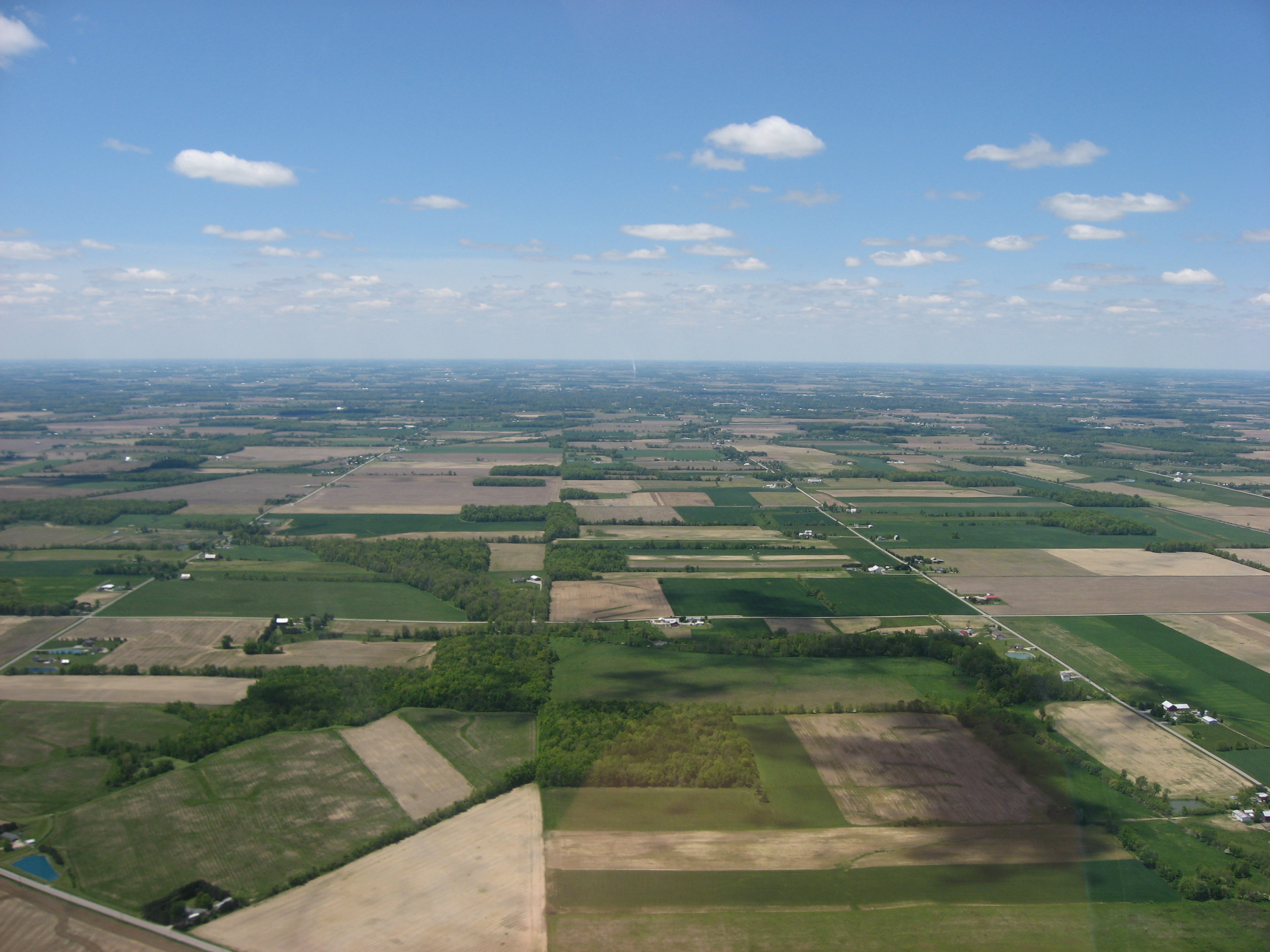
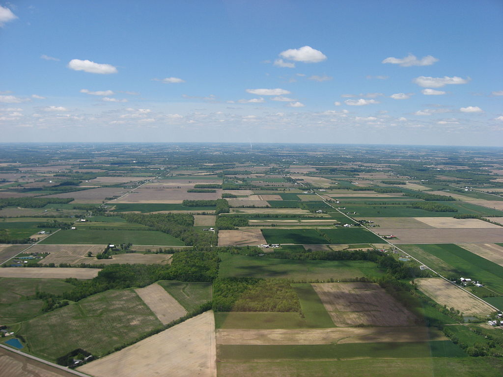
| Նկարագրում | Aerial view of southwestern Scipio Township, Seneca County, Ohio, United States, just southwest of Republic. Picture taken from a Diamond Eclipse light airplane at an altitude of 2,500 feet MSL and a bearing of approximately 270º. Diagonal road in bottom left corner is State Route 67. | ||
| Թվական | Taken on 24 Մայիս 2008 | ||
| Աղբյուր | Բեռնողի սեփական աշխատանք | ||
| Հեղինակ | Nyttend | ||
| Իրավունքներ (Նիշքի վերաօգտագործումը) |
|
Նիշքի պատմություն
Մատնահարեք օրվան/ժամին՝ նիշքի այդ պահին տեսքը դիտելու համար։
| Օր/Ժամ | Մանրապատկեր | Օբյեկտի չափը | Մասնակից | Մեկնաբանություն | |
|---|---|---|---|---|---|
| ընթացիկ | 21:30, 15 Օգոստոսի 2008 | | 2816 × 2112 (2,17 ՄԲ) | Nyttend | {{Information |Description=Aerial view of southwestern {{w|Scipio Township, Seneca County, Ohio|Scipio Township}}, {{w|Seneca County, Ohio|Seneca County}}, {{w|Ohio}}, {{w|United States}}, just southwest of {{w|Republic, Ohio|Republic}}. Picture taken fr |
Նիշքի օգտագործում
Հետևյալ էջը հղվում է այս նիշքին՝
Նիշքի համընդհանուր օգտագործում
Հետևյալ այլ վիքիները օգտագործում են այս նիշքը՝
- Օգտագործումը ca.wikipedia.org կայքում
- Օգտագործումը en.wikipedia.org կայքում
- Օգտագործումը es.wikipedia.org կայքում
- Օգտագործումը eu.wikipedia.org կայքում
- Օգտագործումը fa.wikipedia.org կայքում
- Օգտագործումը he.wikipedia.org կայքում
- Օգտագործումը pt.wikipedia.org կայքում
- Օգտագործումը tum.wikipedia.org կայքում
- Օգտագործումը uk.wikipedia.org կայքում
- Օգտագործումը vi.wikipedia.org կայքում
- Օգտագործումը www.wikidata.org կայքում
- Օգտագործումը zh.wikipedia.org կայքում