
Պատկեր:Trinidad and Tobago adm location map.svg

Սկզբնական նիշք (SVG-նիշք, անվանապես 780 × 756 փիքսել, նիշքի չափը՝ 36 ԿԲ)
Ամփոփում
| Նկարագրում |
Deutsch: Positionskarte von Trinidad und Tobago
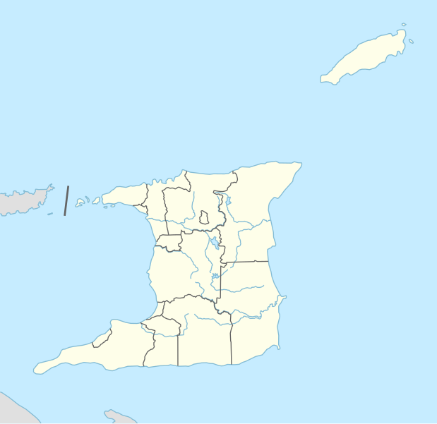
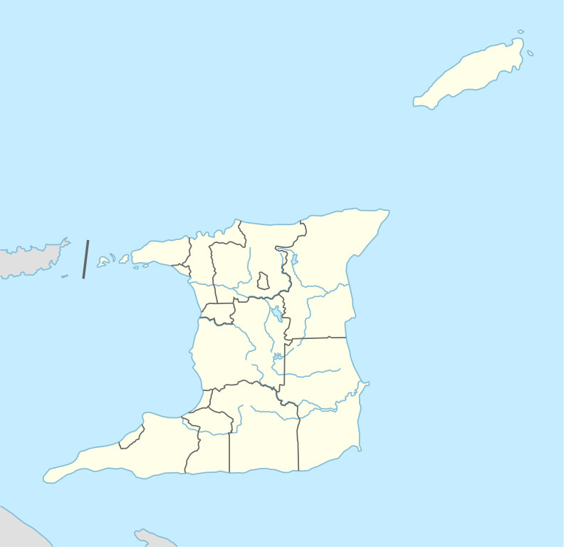
English: Location map of Trinidad and Tobago
|
||||||||||||
| Թվական | |||||||||||||
| Աղբյուր |
Own work using:
|
||||||||||||
| Հեղինակ | NordNordWest | ||||||||||||
| Այլ մեկնակերպներ |
|
||||||||||||


|
Այս քարտեզը բարելավված է եղել գերմանական Kartenwerkstatt-ում: Դուք կարող եք նաև առաջարկել այլ քարտեզներ դրանց բարելավման համար:
|
Արտոնագրում
Usage of this file with:

explanatory notes: Legally binding is only the full legalcode. For a free usage I recommend to respect the following licence conditions:
1. Provide my name as given above: NordNordWest,
2. a copy of, or the URI for, the applicable license: https://creativecommons.org/licenses/by-sa/3.0/de/legalcode,
3. the title of the work,
4. in the case of an adaptation, a credit identifying the use of the work in the adaptation.
This license and the rights granted hereunder will terminate automatically upon any breach by you of the terms of this license. Any of the above conditions can be waived if you get permission from the copyright holder. If you have questions or wish differing conditions, please contact me through nnwest or my discussion page ![]() t-online.de
t-online.de
- Դուք ազատ եք՝
- կիսվել ստեղծագործությամբ – պատճենել, տարածել և փոխանցել այս աշխատանքը։
- վերափոխել – ադապտացնել աշխատանքը
- Պահպանելով հետևյալ պայմանները'
- հղում – Դուք պետք է նշեք հեղինակի (իրավատիրոջ) հղումը:
- համանման տարածում – Եթե դուք ձևափոխում եք, փոխակերպում, կամ այս աշխատանքի հիման վրա ստեղծում եք նոր աշխատանք, ապա ձեր ստեղծածը կարող է տարածվել միայն նույն կամ համարժեք թույլատրագրով։

Նիշքի պատմություն
Մատնահարեք օրվան/ժամին՝ նիշքի այդ պահին տեսքը դիտելու համար։
| Օր/Ժամ | Մանրապատկեր | Օբյեկտի չափը | Մասնակից | Մեկնաբանություն | |
|---|---|---|---|---|---|
| ընթացիկ | 20:31, 27 հունվարի 2016 | | 780 × 756 (36 ԿԲ) | NordNordWest | == {{int:filedesc}} == {{Information |Description= {{de|1=Positionskarte von Trinidad und Tobago}} {{en|1=Location map of Trinidad and Tobago}} {{Location map series N |stretching=– |top=11.45 |bottom=9.85 |left=-62.05 |right=-60.4 }} |Source={{Own u... |
Նիշքի օգտագործում
Հետևյալ 5 էջերը հղվում են այս նիշքին՝
Նիշքի համընդհանուր օգտագործում
Հետևյալ այլ վիքիները օգտագործում են այս նիշքը՝
- Օգտագործումը als.wikipedia.org կայքում
- Օգտագործումը an.wikipedia.org կայքում
- Օգտագործումը ast.wikipedia.org կայքում
- Օգտագործումը az.wikipedia.org կայքում
- Օգտագործումը bn.wikipedia.org կայքում
- Օգտագործումը de.wikipedia.org կայքում
- Port of Spain
- Canaan (Trinidad und Tobago)
- Diego Martin
- Flughafen Piarco
- A. N. R. Robinson International Airport
- Point Fortin
- San Fernando (Trinidad und Tobago)
- U-17-Fußball-Weltmeisterschaft 2001
- Vorlage:Positionskarte Trinidad und Tobago
- Black Rock (Trinidad und Tobago)
- Wikipedia:Kartenwerkstatt/Positionskarten/Nordamerika
- U-17-Fußball-Weltmeisterschaft der Frauen 2010
- Hasely Crawford Stadium
- Dwight Yorke Stadium
- Ato Boldon Stadium
- Larry Gomes Stadium
- Manny Ramjohn Stadium
- Crown Point (Trinidad und Tobago)
- Roxborough (Trinidad und Tobago)
- Castara
- Charlotteville (Trinidad und Tobago)
- Arima (Trinidad und Tobago)
- Marvin Lee Stadium
- Princes Town (Trinidad und Tobago)
- Blanchisseuse
- Chaguaramas (Trinidad und Tobago)
- Tunapuna
- Saint James (Port of Spain)
- St. Augustine (Trinidad und Tobago)
- Curepe
- Chaguanas
- Morvant
- Siparia (Trinidad und Tobago)
- Belmont (Port of Spain)
- Valsayn
- Fyzabad
- Laventille
- San Juan (Trinidad und Tobago)
- Benutzer:TaxonBot/Spielwiese
Տեսնել այս նիշքի ավելի համընդհանուր օգտագործումը: