
Պատկեր:Mercator north pole 1595.jpg
Նախադիտման չափ՝ 635 × 600 պիքսել։ Այլ թույլտվությաններ: 254 × 240 պիքսել | 508 × 480 պիքսել | 813 × 768 պիքսել | 1084 × 1024 պիքսել | 1700 × 1606 պիքսել.
Սկզբնական նիշք (1700 × 1606 փիքսել, նիշքի չափը՝ 1,13 ՄԲ, MIME-տեսակը՝ image/jpeg)
Ամփոփում
| Նկարագրում |
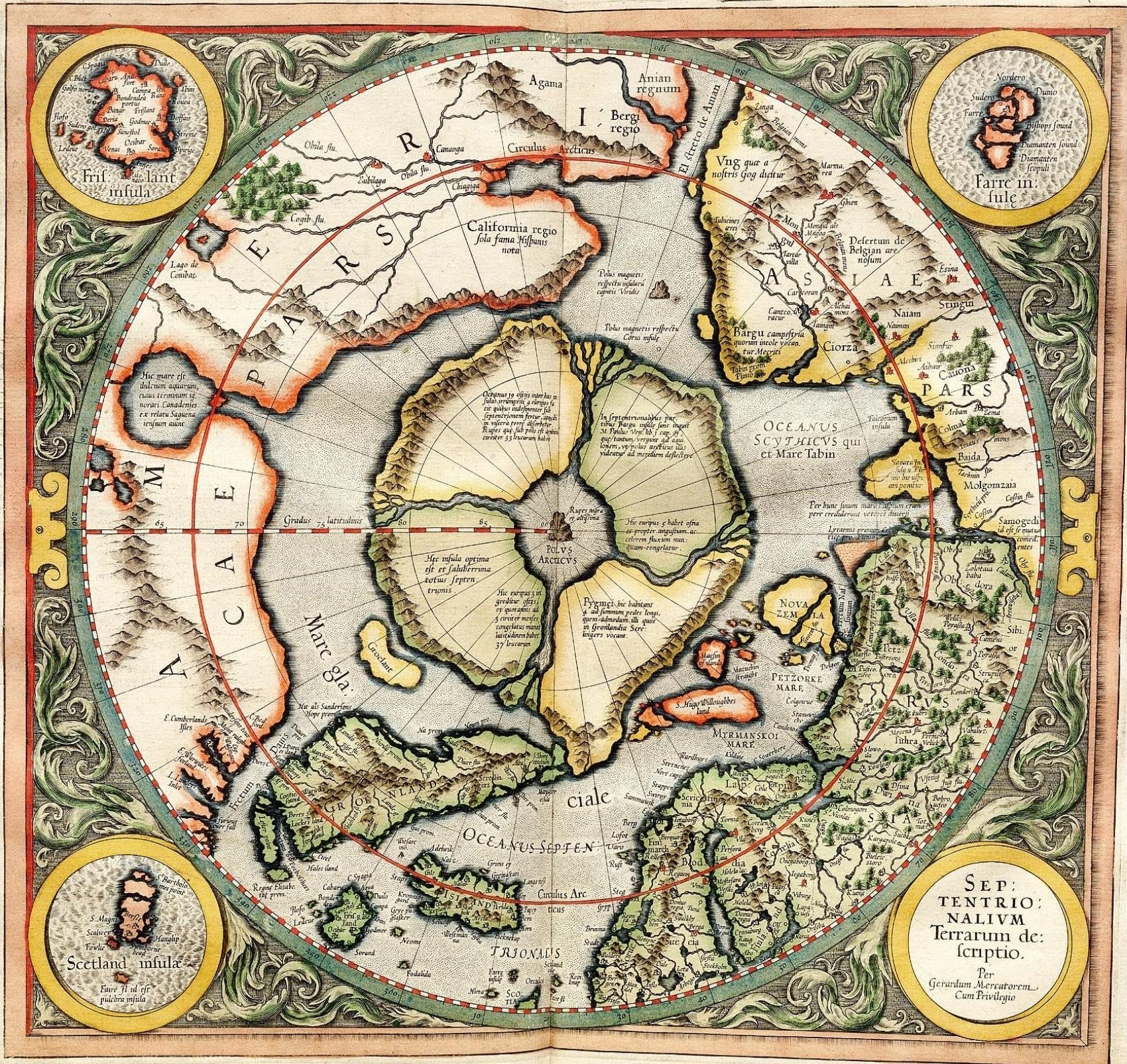
Mercator's 1595 map of the Arctic. Mercator, Gerhard, 1512-1594. "Septentrionalium Terrarum descriptio" [1595]. First state, from his posthumously published atlas, Atlantis pars altera. |
||||||||||||||||||||||||||
| Թվական | |||||||||||||||||||||||||||
| Աղբյուր | http://libweb5.princeton.edu/visual_materials/maps/websites/northwest-passage/mercator.htm | ||||||||||||||||||||||||||
| Հեղինակ |
|
||||||||||||||||||||||||||
| Իրավունքներ (Նիշքի վերաօգտագործումը) |
|
||||||||||||||||||||||||||

Արտոնագրում
|
This work is in the public domain in its country of origin and other countries and areas where the copyright term is the author's life plus 100 years or fewer. | |
| This file has been identified as being free of known restrictions under copyright law, including all related and neighboring rights. | |
_-_Geographicus_-_NorthPole-mercator-1606.jpg)
]
Նիշքի պատմություն
Մատնահարեք օրվան/ժամին՝ նիշքի այդ պահին տեսքը դիտելու համար։
| Օր/Ժամ | Մանրապատկեր | Օբյեկտի չափը | Մասնակից | Մեկնաբանություն | |
|---|---|---|---|---|---|
| ընթացիկ | 11:32, 14 Մարտի 2008 | | 1700 × 1606 (1,13 ՄԲ) | Pallidio~commonswiki | {{Information |Description= |Source= |Date= |Author= |Permission= |other_versions= }} Maps made in the 16th century | Gerardus Mercator | Maps by Gerardus Mercator | 1595 | Old maps of the world | |
Նիշքի օգտագործում
Հետևյալ էջը հղվում է այս նիշքին՝
Նիշքի համընդհանուր օգտագործում
Հետևյալ այլ վիքիները օգտագործում են այս նիշքը՝
- Օգտագործումը ba.wikipedia.org կայքում
- Օգտագործումը be-tarask.wikipedia.org կայքում
- Օգտագործումը be.wikipedia.org կայքում
- Օգտագործումը de.wikipedia.org կայքում
- Օգտագործումը en.wikipedia.org կայքում
- Օգտագործումը eo.wikipedia.org կայքում
- Օգտագործումը es.wikipedia.org կայքում
- Օգտագործումը fr.wikipedia.org կայքում
- Օգտագործումը it.wikipedia.org կայքում
- Օգտագործումը ja.wikipedia.org կայքում
- Օգտագործումը ka.wikipedia.org կայքում
- Օգտագործումը la.wikipedia.org կայքում
- Օգտագործումը nl.wikipedia.org կայքում
- Օգտագործումը pa.wikipedia.org կայքում
- Օգտագործումը pl.wikipedia.org կայքում
- Օգտագործումը ru.wikipedia.org կայքում
- Օգտագործումը sv.wikipedia.org կայքում
- Օգտագործումը te.wikipedia.org կայքում
- Օգտագործումը te.wiktionary.org կայքում
- Օգտագործումը tt.wikipedia.org կայքում
- Օգտագործումը zh.wikipedia.org կայքում