
Պատկեր:Map of Kentucky highlighting Harlan County.svg

Size of this PNG preview of this SVG file: 800 × 345 պիքսել. Այլ թույլտվությաններ: 320 × 138 պիքսել | 640 × 276 պիքսել | 1024 × 441 պիքսել | 1280 × 551 պիքսել | 2560 × 1103 պիքսել | 6770 × 2916 պիքսել.
Սկզբնական նիշք (SVG-նիշք, անվանապես 6770 × 2916 փիքսել, նիշքի չափը՝ 127 ԿԲ)
Ամփոփում
| Նկարագրում |
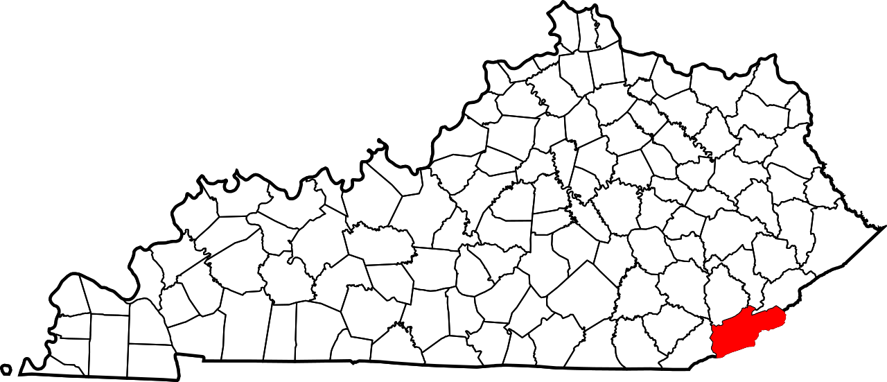
English: This is a locator map showing Harlan County in Kentucky. For more information, see Commons:United States county locator maps. |
| Թվական | |
| Աղբյուր |
Բեռնողի սեփական աշխատանք: English: The maps use data from nationalatlas.gov, specifically countyp020.tar.gz on the Raw Data Download page. The maps also use state outline data from statesp020.tar.gz. The Florida maps use hydrogm020.tar.gz to display Lake Okeechobee. |
| Հեղինակ | David Benbennick |
Արտոնագրում
| I, the copyright holder of this work, release this work into the public domain. This applies worldwide. In some countries this may not be legally possible; if so: I grant anyone the right to use this work for any purpose, without any conditions, unless such conditions are required by law. |
Նիշքի պատմություն
Մատնահարեք օրվան/ժամին՝ նիշքի այդ պահին տեսքը դիտելու համար։
| Օր/Ժամ | Մանրապատկեր | Օբյեկտի չափը | Մասնակից | Մեկնաբանություն | |
|---|---|---|---|---|---|
| ընթացիկ | 12:22, 12 փետրվարի 2006 | | 6770 × 2916 (127 ԿԲ) | David Benbennick | {{subst:User:Dbenbenn/clm|county=Harlan County|state=Kentucky}} |
Նիշքի օգտագործում
Հետևյալ էջը հղվում է այս նիշքին՝
Նիշքի համընդհանուր օգտագործում
Հետևյալ այլ վիքիները օգտագործում են այս նիշքը՝
- Օգտագործումը ar.wikipedia.org կայքում
- Օգտագործումը bg.wikipedia.org կայքում
- Օգտագործումը bpy.wikipedia.org կայքում
- Օգտագործումը cdo.wikipedia.org կայքում
- Օգտագործումը ceb.wikipedia.org կայքում
- Օգտագործումը ce.wikipedia.org կայքում
- Օգտագործումը cy.wikipedia.org կայքում
- Օգտագործումը de.wikipedia.org կայքում
- Օգտագործումը en.wikipedia.org կայքում
- Harlan County, Kentucky
- Benham, Kentucky
- Cumberland, Kentucky
- Evarts, Kentucky
- Harlan, Kentucky
- Loyall, Kentucky
- Lynch, Kentucky
- South Wallins, Kentucky
- Wallins Creek, Kentucky
- Middle Fork Kentucky River
- Highsplint, Kentucky
- List of counties in Kentucky
- Southeast Kentucky Community and Technical College
- Eastern Kentucky Coalfield
- Martins Fork Lake
- Cranks Creek Lake
- Kentenia State Forest
- Template:Harlan County, Kentucky
- Dayhoit, Kentucky
- User:Nyttend/County templates/KY/1
- Pathfork, Kentucky
- Alva, Kentucky
- Cranks, Kentucky
- National Register of Historic Places listings in Harlan County, Kentucky
- Category:Populated places in Harlan County, Kentucky
- Black Bottom, Kentucky
- Blackjoe, Kentucky
- Tin Can Alley, Kentucky
- Dizney, Kentucky
Տեսնել այս նիշքի ավելի համընդհանուր օգտագործումը: